We invite you to take part in V scientific and methodological seminar “GIS and protected areas”!
June 09-12, 2017
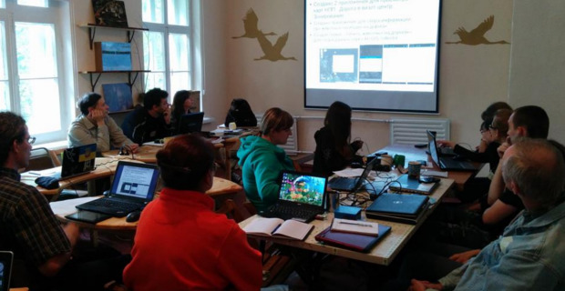
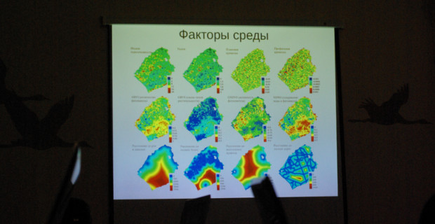
The aim of the seminar is to inspire participants to use GIS technologies for environmental and scientific tasks, to exchange experience in applying modern methods of visualization and analysis of spatial information.
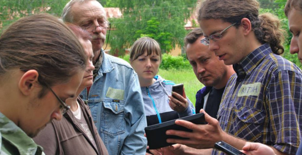
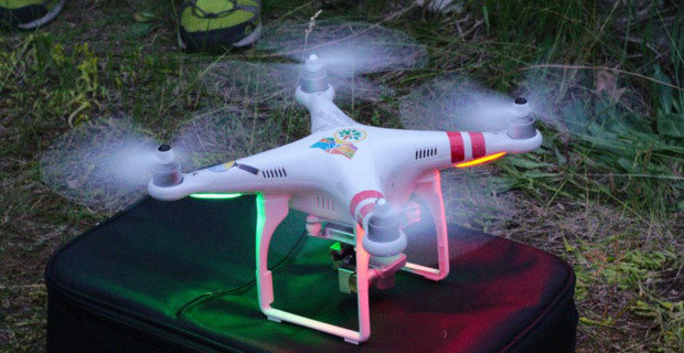
Key topics of the 2017 seminar: web technologies, joint project work, mobile GIS, open data and unmanned aerial vehicles (UAV).
Employees of objects of the PZF, public environmental organizations, teachers and students, specialists and volunteers, whose work is connected with studying and protecting nature, are willing to apply GIS tools for these purposes.
Location: National Park Slobozhanskyi
Organizational costs: it is provided for compensation of a part of organizational expenses (accommodation arrangement, expendable materials, etc.). Will make 200 UAH. Payment upon arrival at the seminar.
For participation it is necessary to register in the REGISTRATION FORM. Registration is open until 21/05/2017 11:59 PM.
Full PDF version of the 1-st information letter Download
Proceedings of the I – IV seminars “GIS and Protected Areas”: Open