Thanks to satellite imagery with high spatial and spectral resolution from @digitalglobefoundation, our regional SCGIS team can improve the study of habitat distribution with much higher accuracy. This imagery grant is important for our @gispzf studies, since we do not have alternative opportunities to obtain other high-resolution satellite data.
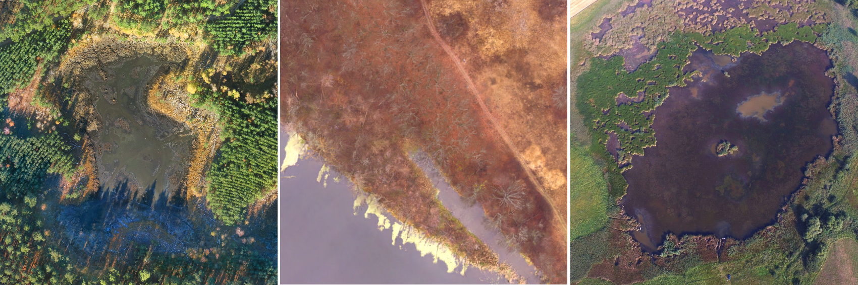
The main question we are looking for is the way our humid landscapes behave and how landscape structure affects the state of a population of rare species (reptiles, mammals, plants, mushrooms). Our project is aimed at obtaining more complete data on the state of protected our wetland landscapes and developing accurate maps to ensure appropriate solutions to respond to such challenges as man-made impacts, climate change, invasive species. During the project, in addition to the field data, we will use data from the satellite and the UAV (RGBN+) at the input. The result will be models of the distribution of habitats and rare species for three national parks @SlobozhanskyiNationalPark @NationalParkDvurechanskyi and Gomilshansky Lisy. Project results will be used to correct management plans. An additional result of our project will be testing of techniques for using satellite data in conjunction with data from UAVs.
About the Foundation
The DigitalGlobe Foundation is a 501(c)(3) nonprofit organization established in 2007 to share DigitalGlobe’s unique technology and resources to help train others to map, monitor and measure the Earth. DigitalGlobe Foundation focus on the development of the next generation of geospatial professionals by providing satellite imagery to students and faculty with the goal of fostering research in geographic information systems and technology.
![]()
![]()