March 24, 2017, Start: 11:45 am Kharkov, Main building V.N. Karazin Kharkiv National University, aud. 4-24
Estimated duration – 5 hours
NextGIS is a software stack that allows you to perform a full cycle of data processing, from field collection to visualization on a web map and analysis in a desktop GIS. It is based on open source software.
At the master class, participants will get acquainted with the capabilities of the cloud GIS platform nextgis.com, will try to collect data using a smartphone and a mobile application NextGIS Mobile, create a form for data collection, and learn how to connect various base cards to your mobile device. And also create a web-card with your data and automatically connect to your computer data collected through a smartphone, in a form suitable for further analysis.

For effective participation in the workshop, you will need:
1) Laptop with internet access
2) Create your own cloud GIS on nextgis.com an advance (more: http://bit.ly/2m0DY3G )
3) Install a desktop GIS QGIS 2.14 and higher http://qgis.org/ru/site/forusers/download.html или NextGIS QGIS http://nextgis.ru/nextgis-qgis/
4) In QGIS, you need to install the NextGIS Connect and QuickMapServices modules. In NextGIS QGIS, these modules are installed by default.
5) Download and install NextGIS Formbuilder http://nextgis.ru/nextgis-formbuilder/
6) Install the NextGIS Mobile application from the Play Store http://bit.ly/2kZWftM on the mobile device (smartphone / tablet) or download the APK-file from the official site http://nextgis.ru/nextgis-mobile/
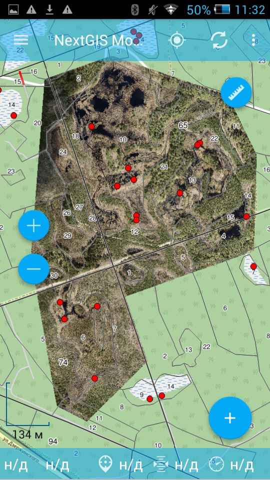
7) Download the GeoTIFF-file of the fragment of the orthophoto made with the quadrocopter http://abiatov.github.io/Temp_File_Store/GIS-Forum-2017/bog_ortophoto.tif