 We have been studying and accumulating experience with OpenStreetMap (OSM) for National Parks and other Protected Area’s since 2010.
In activities for updating OSM coverage and basemaps of Kharkiv Forest Park, Mezin NP, Gomolshanskiy NP and Dvurechansky NP, work was done by several OSM experts. OSM coverage was updated by Slobozhanskiy NP, and several Carpathian National Parks as part of a multi-user distributed projects, during which a cooperation model was tested of both local and remote participants of OSM community (representatives of the National Park and others), Kharkiv University, and University of Kyiv.
OSM basemaps and navigation maps that have been created in the framework of implemented projects were successfully used by employees and visitors of the NPs.
Based on the OSM-data, various options for basic and navigation maps are automatically created, updated, and distributed. There are opportunities to connect existing map services, as well as to download maps in vector and raster file formats or to design and publish custom maps.
 Passionate community members can develop a basic coverage of protected areas, and regardless of their spatial location, they can remotely perform some type of work that does not require a physical presence (e.g. vectorization, analysis of feedback forms, integration of existing data sets). In cooperation with the OSM community, National Park professionals can create and maintain an up-to-date OSM POI database, which is important for park visitors. Now OSM-communities members have logically focused on the development of regional centers and major transport routes outside the cities. This leads to a lack of detailed base maps of areas with low population density. Thus, protected area specialists, as members of the OSM community, have more opportunities to organize a controlled base map creation process.
The results of the work of the local OSM community on the development of database coverage and renderings (maps) for natural areas were presented at the State of the Map US 2015 conference.
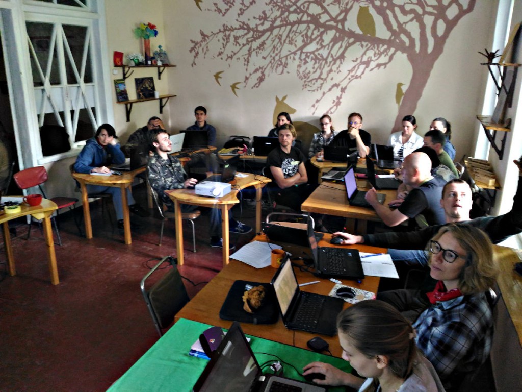
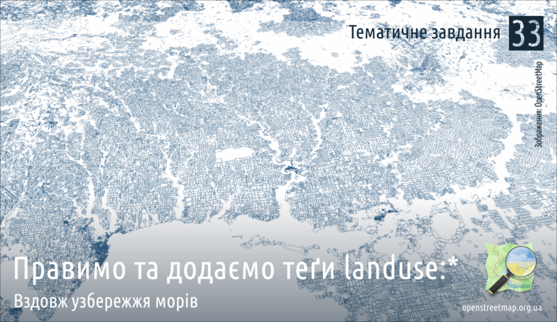 Annually, we hold “thematic” online Mapping parties in which active members of the OSM community from National Parks and all others together work on maps. This allows the use of data from the ground to be combined with the power of the online Community. Annually we hold an online Mapping Party in use of Mapillary’s photos to refine OSM in the Rural and Nature Areas.
Find more on: