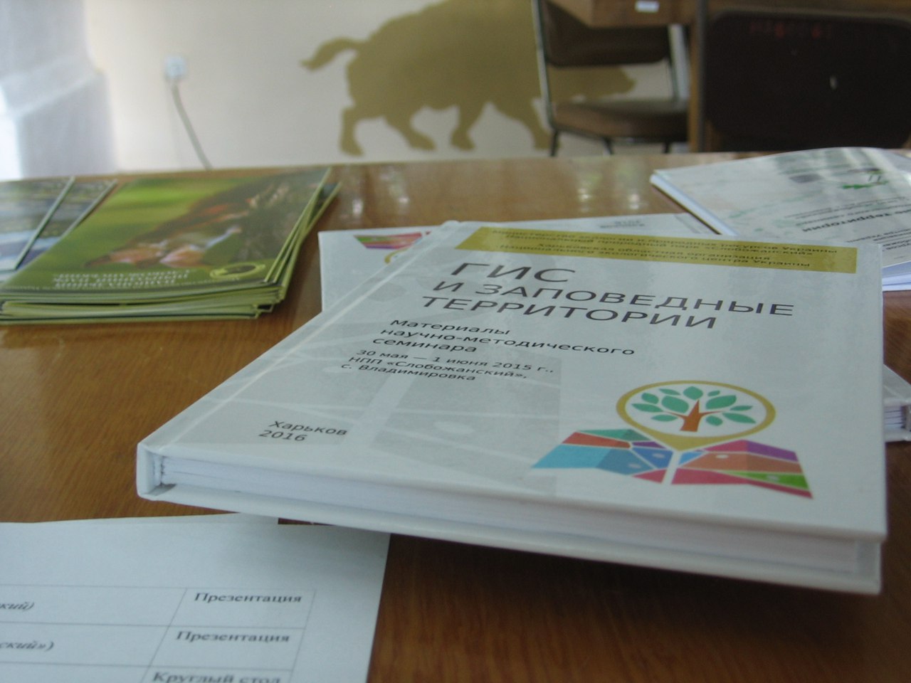
On June 3-5, 2016, was held the 4th scientific and methodological seminar “GIS and Protected Areas”. The seminar was organized by the National Nature Park “Slobozhansky” in conjunction with the National Ecological Center of Ukraine on the territory of the Slobozhansky National Nature Park.
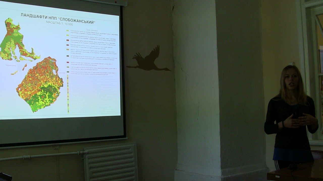
During the seminar were presented research reports about natural complexes of the National Parks Slobozhansky, Dvurechansky, Peryatynsky with using GIS and remote sensing, the use of GIS in the analysis and planning of recreational activities in national parks, the new open satellite data Sentinel and the database of geobotanical descriptions of TURBOVEG.
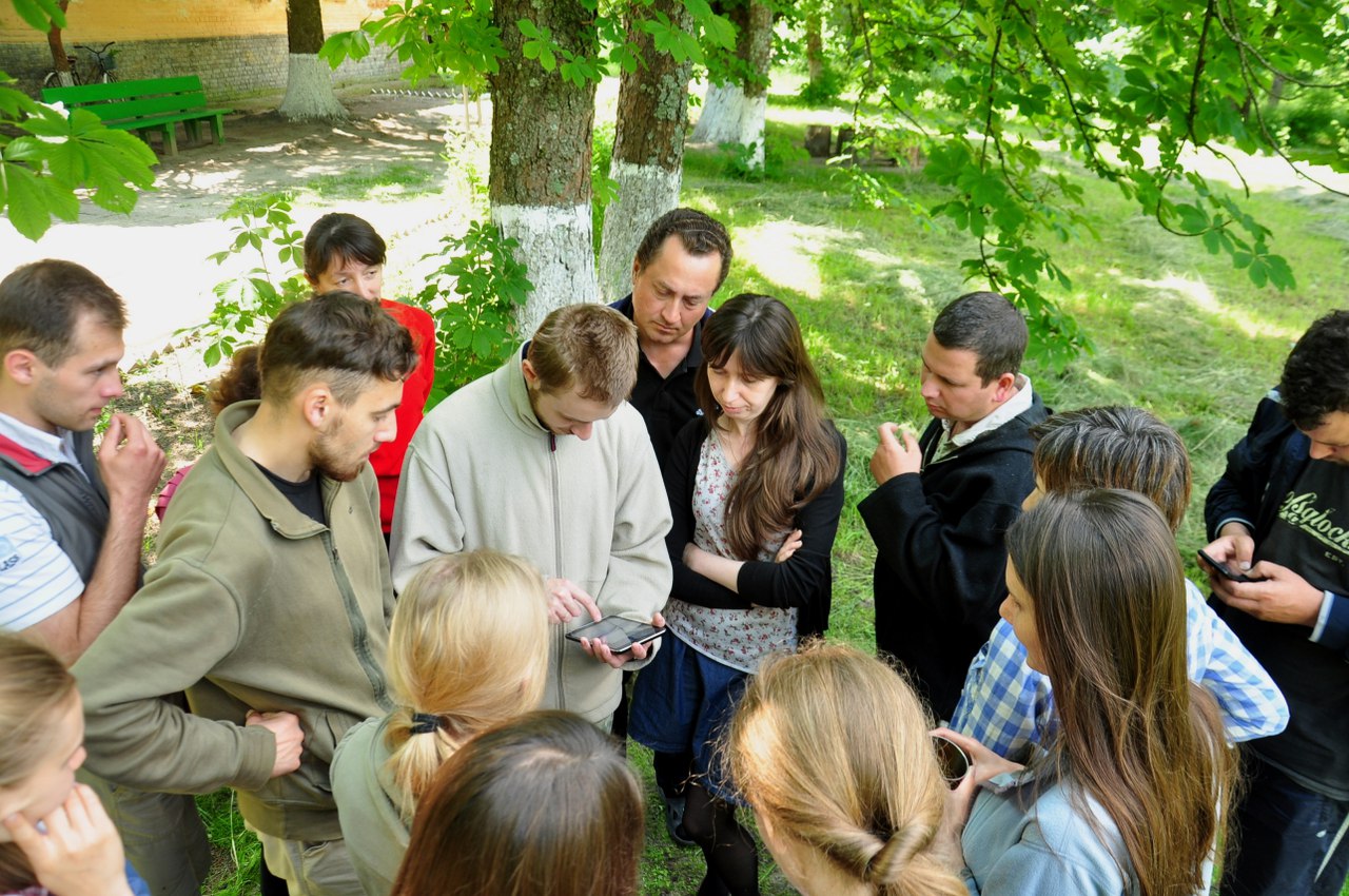
At the master classes participants learned how to work with the mobile GIS application NextGIS Mobile and map the natural objects in OpenStreetMap, created the SpatialLite geodatabase and discussed the possibilities of the TURBOVEG program. A novelty was the work with the «Vkontakte» API to receive from the social network georeferenced photos for a given territory.
During the round tables participants was decided that it is necessary to create a single database on biodiversity. We also discussed ways to develop an environmental GIS community.
20 specialists from 10 organizations of 4 regions of Ukraine took part in the seminar.
Presentations >>>>>