Skip to content
About
Seminar
Services
Projects
Sustainable community development
Recording of damage to natural complexes
Open Cadastre of PAs
Trainings and Consulting
Conservation Drones
Esri Conservation
Стипендії
Anticorruption
OSM Open Data for Nature
Tree inventory
GBIF
Wildfires Monitoring
White Stork Census
NP@Mapillary
Hardware Accelerator
Participation
Partners
Contacts
UA
About
Seminar
Services
Projects
Sustainable community development
Recording of damage to natural complexes
Open Cadastre of PAs
Trainings and Consulting
Conservation Drones
Esri Conservation
Стипендії
Anticorruption
OSM Open Data for Nature
Tree inventory
GBIF
Wildfires Monitoring
White Stork Census
NP@Mapillary
Hardware Accelerator
Participation
Partners
Contacts
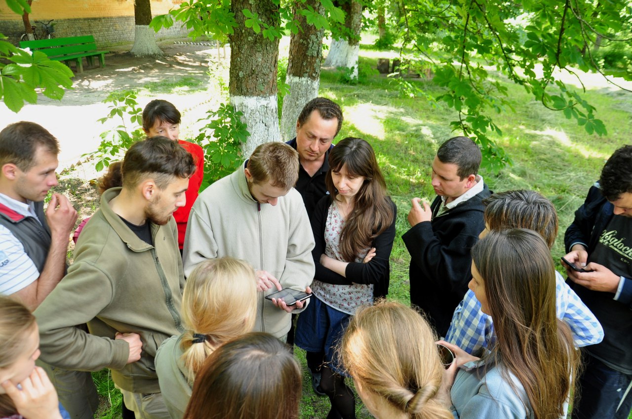
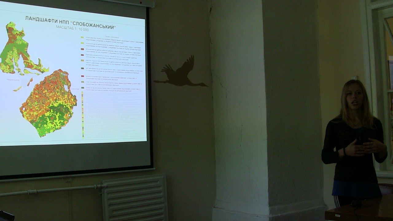
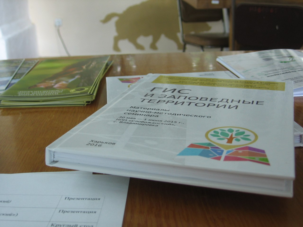
Photos 2016
Home
News
Photos 2016
Tuesday July 5th, 2016
Monday February 25th, 2019
admin
News
Post navigation
Previous
Previous post:
Results of the Conference 2016
Next
Next post:
NextGIS – “GIS-Forum 2017″