Our team has created several useful web services:
- Open Cadastre of Protected areas of Ukraine
- Old-growth forests of Ukrainian Polissia
- OpenStreetMap Shapefile for National Parks
- Public monitoring of the nests of the White stork
- NP@Mapillary 2017 – contest of geotagged photos of the nature reserve fund of Ukraine
- WMS and Image Services of UAV Data
- ECP Public REST Services Directory
Open Cadastre of Protected areas of Ukraine

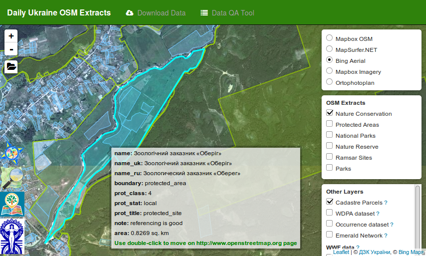
Daily extracts boundaries of Ukrainian Protrcted areas from OpenStreetMap.
The service allows mapping the boundaries of protected territories on a background of different basic maps and space images. You can also connect the Cadastral Division layer to the Public Cadastral Map of Ukraine, the layer of frequency distribution for Ukraine from the Global Biodiversity Information Facility (GBIF) portal, layers of forestry change for 2000-2014 from Global Forest Change, and much more. You can download your GPS track and look at the background of other layers. And most importantly, the service allows you to download the boundaries of the objects of the Ukrainian PAs in the common vector formats: SHP, KML, ESRI FileGDB.
See Development of the open cadastre of protected areas in Ukraine
URL: https://scgis.org.ua/pzf-osm/
OpenStreetMap Vector Data for National Parks
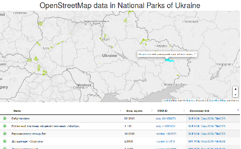
 The service allows you to download OpenStreetMap data on the territories of national natural parks of Ukraine and adjacent territories. Data is provided in the following formats: SHP, KML, GeoJSON, ESRI FileGDB.
URL: https://scgis.org.ua/uanposm/
Public monitoring of the nests of the Stork
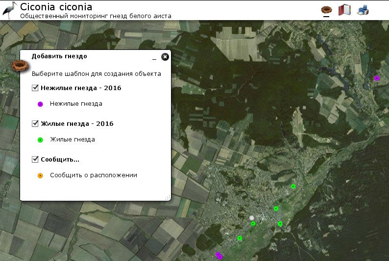
 Public monitoring of the nests of the Crane (Ciconia ciconia) In 2013, the Slobozhansky National Park began to attract volunteers to study the status of the White Stork population (Ciconia Victoria). To aggregate data from volunteers, this service was created and created. The service allows you to enter information about the status of the nest, location, nesting efficiency, photo and some other information. The collected data is transferred annually to ornithologists.
URL: https://scgis.org.ua/stork/
NP@Mapillary – geotegrated photos of the natural reserve fund of Ukraine
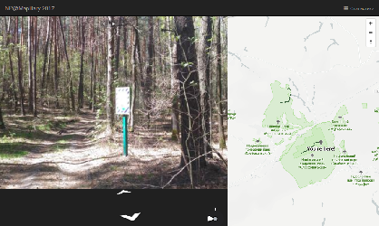
 Viewer of the NP@Mapillary contest results for collecting geotagged photos on the nature protected areas of Ukraine NP @ Mapillary-2017. Information about the competition for Wiki OpenStreetMap.
- https://wiki.openstreetmap.org/wiki/Uk:NP@Mapillary_2015
- https://wiki.openstreetmap.org/wiki/Uk:NP@Mapillary_2016
- https://wiki.openstreetmap.org/wiki/Uk:NP@Mapillary_2017
- https://wiki.openstreetmap.org/wiki/Uk:NP@Mapillary_2018
Disscas on the OpenStreetMap Forum (Ukranian).
App URL: https://scgis.org.ua/np.mapillary-2017/
Planet Data Viewer for National Parks
Data viewer of Planet.com on the territories of the national natural parks of the Kharkiv region. Description of the data.
URL: https://scgis.org.ua/planet.viewer
WMS:
Data of UAVs (unmanned aerial vehicles) on the territory of Slobozhansky National Nature Park and adjacent territories.
Preview on a web map: http://conservationgisua.nextgis.com/resource/16/display
WMS: http://conservationgisua.nextgis.com/api/resource/27/wms
UAV data on the territory of National Nature Park “Gomolshanskie Forest” and adjoining territories.
Preview on a web map: http://conservationgisua.nextgis.com/resource/30/display
WMS: http://conservationgisua.nextgis.com/api/resource/31/wms
UAV data on the territory of National Nature Park “Buzkij Gard” and adjoining territories.
Preview on a web map: http://conservationgisua.nextgis.com/resource/53/display
WMS-сервис: http://conservationgisua.nextgis.com/api/resource/54/wms
Data of UAVs in the territory of the Kharkiv region outside the boundaries of the territories of national natural parks.
Preview on a web map: http://conservationgisua.nextgis.com/resource/35/display
WMS-сервис: http://conservationgisua.nextgis.com/api/resource/36/wms
The data is distributed under license CC-BY 4.0. The only requirement for the user is to keep the mention of the rights holders. The rightholders specifically indicate that they are aware and agree with paragraph 3 of the OpenStreetMap Contributor Terms.
